| Welcome to BRG Precision Products |
Call 866-252-2704 or 316-530-8854
Hours are 8:00AM - 4:00PM Central Time
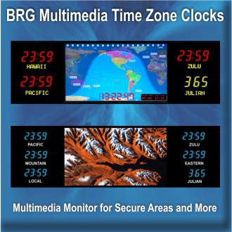
Introducing the BRG Multimedia Time Zone Series
![]()
The BRG Multimedia Series offers 4, 6 or 8 zone time zone clocks with 1.8" to 4.0" LEDs.
Designed for Secure Locations: No radios, Wi-Fi or network connections are included or needed to display breathtaking imagery and maintain accurate time for the life of the display.
Click on the images below for details.
|
|
 |
 |
|  |
 |  |
 |
 |
 |
|
| Call 866-252-2704 or 316-530-8854 | |
 |
 |
 |
 |
 |
 |
 |
 |
 |
 |
 |
|
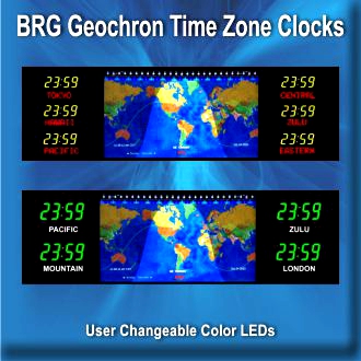
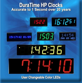
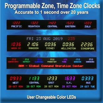
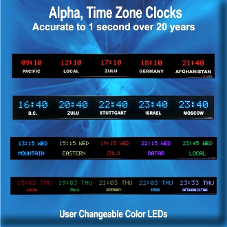
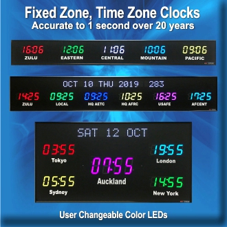
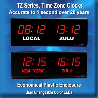
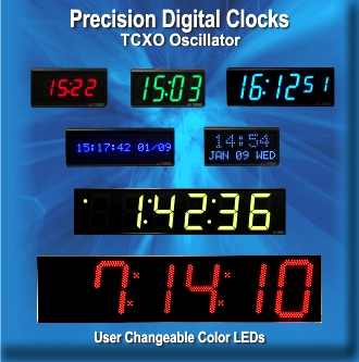
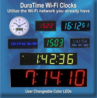
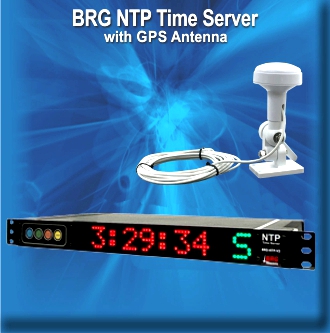
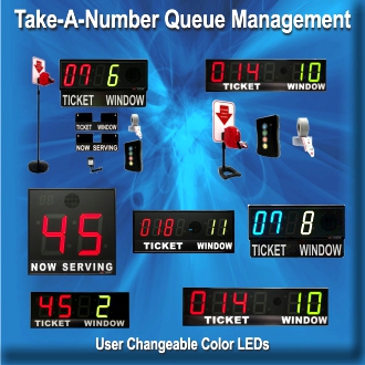
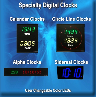
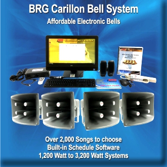
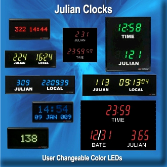
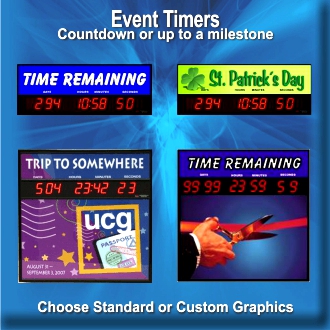
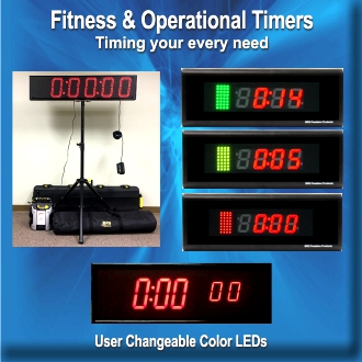
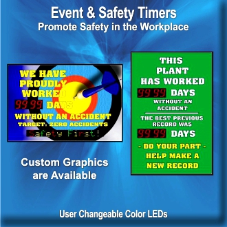
BRG is the leader in providing custom time zone displays to the United States Government and corporations around the world. Whether you need two time zones or 24 time zones, we have a model that will fit your needs. Our displays come standard with Red Time LEDs, however, you can select Red, Blue, Green, Yellow, Magenta, Cyan or White LEDs or any combination that you would like. Depending on the viewing distance for your Time Zone Display, BRG offers three different LED sizes that can be viewed from 40 ft., 75 ft. or 100 ft. Our product line is available to our government customers through our GSA Contract GS-02F-0030U. BRG’s helpful sales staff will help you determine the product that best suits your needs. BRG’s digital clocks are available as stand alone models or can be part of a synchronized time system. Our event timers and safety timers are used by corporations and industry to mark significant milestones and to remind employees that safety is important. Call 866-252-2704 or 316-530-8854 |
|